Available Trail Services
Hotels Available
Available
Campsites
Available
Shuttling Services
Available
Luggage Transfer
Available
Bike Rentals
Available
Suggested Itineraries
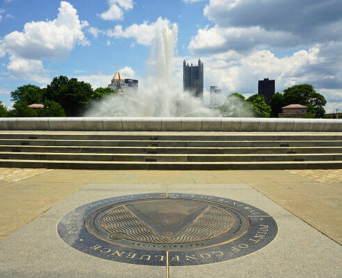
Day 1 – Pittsburgh to West Newton (34 miles)
Day 2 – West Newton to Ohiopyle (41 miles)
Day 3 – Ohiopyle to Meyersdale (42 miles)
Day 4 – Meyersdale to Cumberland (32 miles)
Day 1 – Pittsburgh to West Newton (34 miles)
Day 2 – West Newton to Ohiopyle (42 miles)
Day 3 – Ohiopyle to Confluence (11 miles)
Day 4 – Confluence to Meyersdale (31 miles)
Day 5 – Meyersdale to Cumberland (32 miles)
Day 1 – Pittsburgh to West Newton (34 miles)
Day 2 – West Newton to Connellsville (25 miles)
Day 3 – Connellsville to Ohiopyle (17 miles)
Day 4 – Ohiopyle to Confluence (11 miles)
Day 5 – Confluence to Meyersdale (31 miles)
Day 6 – Meyersdale to Cumberland (32 miles)
Camping on the GAP is possible at established campgrounds only, and some require reservations.
3Day Pittsburgh to Cumberland
Day 1 – Pittsburgh to Connellsville (approx. 60 mi)
Day 2 – Connellsville to Rockwood (approx. 50 mi)
Day 3 – Rockwood to Cumberland (approx. 40 mi)
4Day Pittsburgh to Cumberland
Day 1 – Pittsburgh to Cedar Creek/Roundbottom (approx. 40-50 mi)
Day 2 – Cedar Creek/Roundbottom to Ohiopyle (approx. 30-40 mi)
Day 3 – Ohiopyle to Rockwood (approx. 30 mi)
Day 4 – Rockwood to Cumberland (approx. 40 mi)
5Day Pittsburgh to Cumberland
Day 1 – Pittsburgh to West Newton (approx. 35 mi)
Day 2 – West Newton to Ohiopyle (approx. 40 mi)
Day 3 – Ohiopyle to Rockwood (approx. 30 mi)
Day 4 – Rockwood to Frostburg (approx. 30 mi)
Day 5 – Frostburg to Cumberland (approx. 15 mi)
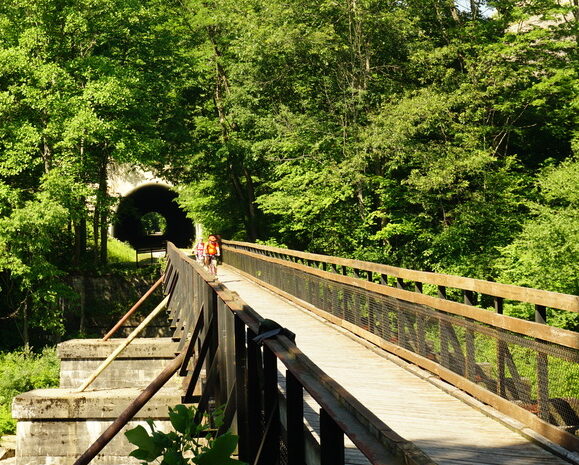
Riding the GAP
The Great Allegheny Passage is best ridden between May and October.
Spring on the GAP is a wonderful way to restart your cycling season. April and the start of May can have periods of rain followed by periods of gorgeous spring sunshine.
Summer is ideal for riders who love the long days, sunny and dry weather. Long sunny days allow for full days of biking, side trips, and socializing.
September and October is peak season on the trail.
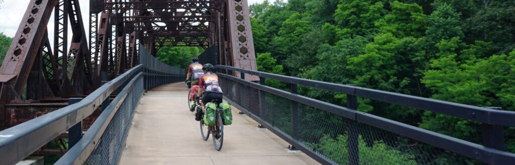
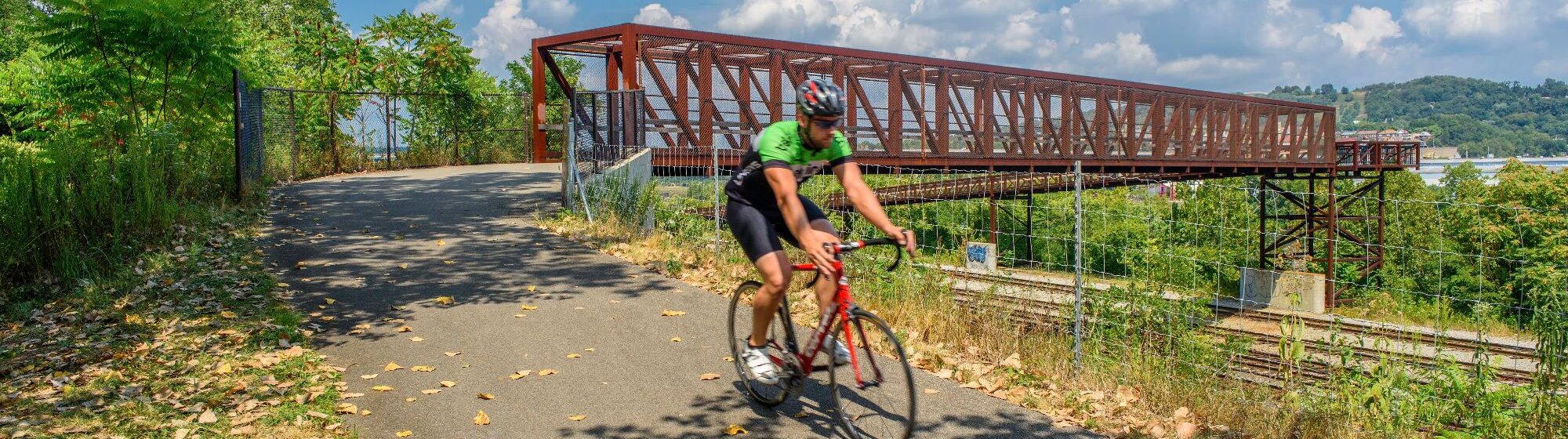
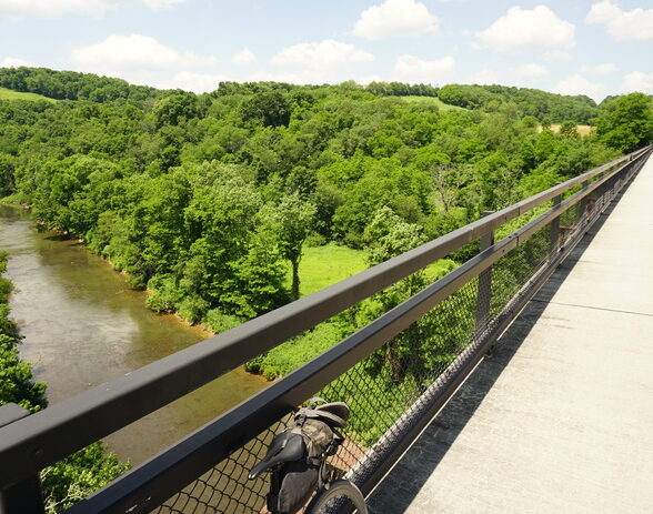
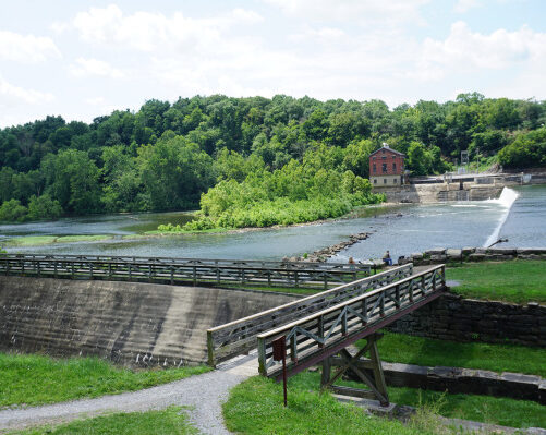
The Great Allegheny Passage is a well-maintained crushed gravel trail which is comfortable for most riders on most types of bikes.
The GAP passes through rural SW Pennsylvania with small towns about every 10-20 miles which offer food, bathrooms, and bike services. There are also relatively frequent trailheads with port-a-johns along the length of the trail.
Cell coverage is fairly strong on the entire trail, particularly Verizon. Wifi can be limited, although most B&Bs and hotels will offer the service. *There is no wifi and limited cell service in Ohiople.
Bike and ebike rental is available in Pittsburgh and Cumberland. Rental bikes can be shuttled back with you to the shop or dropped off for an added fee.
Have a question about this trip?
We’re here for you every pedal along the way! If you have any questions, don’t hesitate to ask.
Related Trips
GAP 4 Day Tour
Bike the Great Allegheny Passage (GAP) for your next adventure vacation. You’ll spend 4 days taking in the scenic waterfalls, woods and charming towns that dot this trail.
View Trip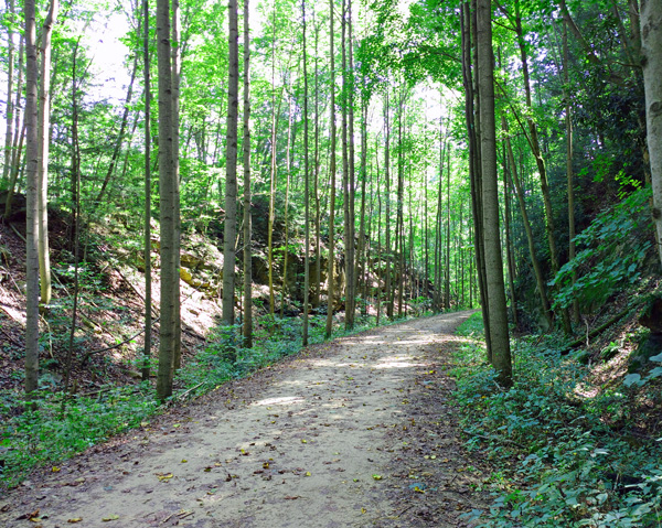
GAP 5 Day Tour
Bike the Great Allegheny Passage in 5 days and see all that the trail offers. From charming small towns to majestic waterfalls, the GAP has a taste of everything you want from a bike vacation.
View Trip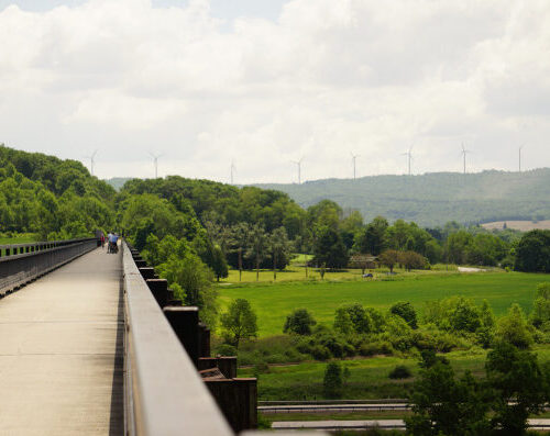
GAP 6 Day Tour
A 6-day tour on the the Great Allegheny Passage that visits the vibrant communities and natural wonders that have made this trail a favorite among self-guided bike enthusiasts.
View Trip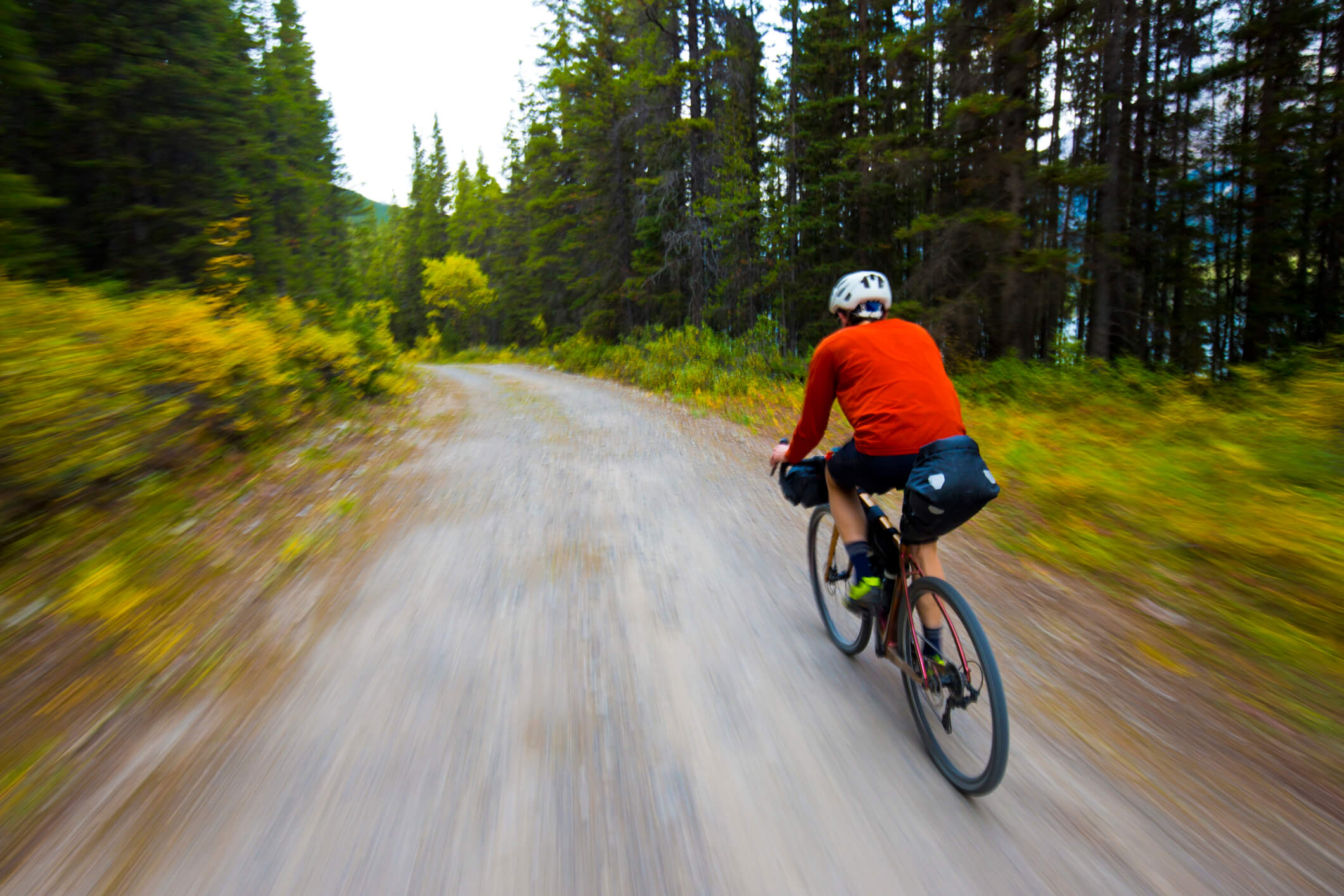
Looking for something different?
If you’re looking for a different trail or even a more traditional self-guided tour on the GAP (rather than our new Bike Tour Blueprint product), we are still here for you!