Available Trail Services
Hotels Available
Available
Campsites
Available
Shuttling Services
Available
Luggage Transfer
Available
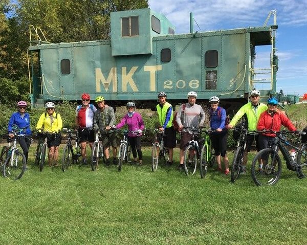
Bike Rentals
Available
Suggested Itineraries
Day 1 – Cumberland to Hancock (60 miles)
Day 2 – Hancock to Shepherdstown (52 miles)
Day 3 – Shepherdstown to DC (73.5 miles)
Day 1 – Cumberland to Little Orleans (43 miles)
Day 2 – Little Orleans to Shepherdstown (68 miles)
Day 3 – Shepherdstown to Brunswick (18 miles)
Day 4 – Brunswick to DC (55 miles)
Day 1 – Cumberland to Little Orleans (43 miles)
Day 2 – Little Orleans to Williamsport (41 miles)
Day 3 – Williamsport to Shepherdstown (27.5 miles)
Day 4 – Shepherdstown to Brunswick (18 miles)
Day 5 – Brunswick to DC (55 miles)
Camping on the C&O is available at hiker-biker sites every 8-10 miles along the trail.
3Day Cumberland to DC
Day 1 – Cumberland to Hancock (approx. 60 mi)
Day 2 – Hancock to Harpers Ferry (approx. 60 mi)
Day 3 – Harpers Ferry to DC (approx. 60 mi)
4Day Cumberland to DC
Day 1 – Cumberland to Fifteenmile Creek Area (approx. 45 mi)
Day 2 – Fifteenmile Creek Area to Williamsport area (approx. 40 mi)
Day 3 – Williamsport area to Brunswick (approx. 50 mi)
Day 4 – Brunswick to DC (approx. 50 mi)
5Day Cumberland to DC
Day 1 – Cumberland to Paw Paw area (approx. 30 mi)
Day 2 – Paw Paw area to Hancock (approx. 30 mi)
Day 3 – Hancock to Sharpsburg area (approx. 50 mi)
Day 4 – Sharpsburg area to Brunswick (approx. 20 mi)
Day 5 – Brunswick to DC (approx. 50 mi)
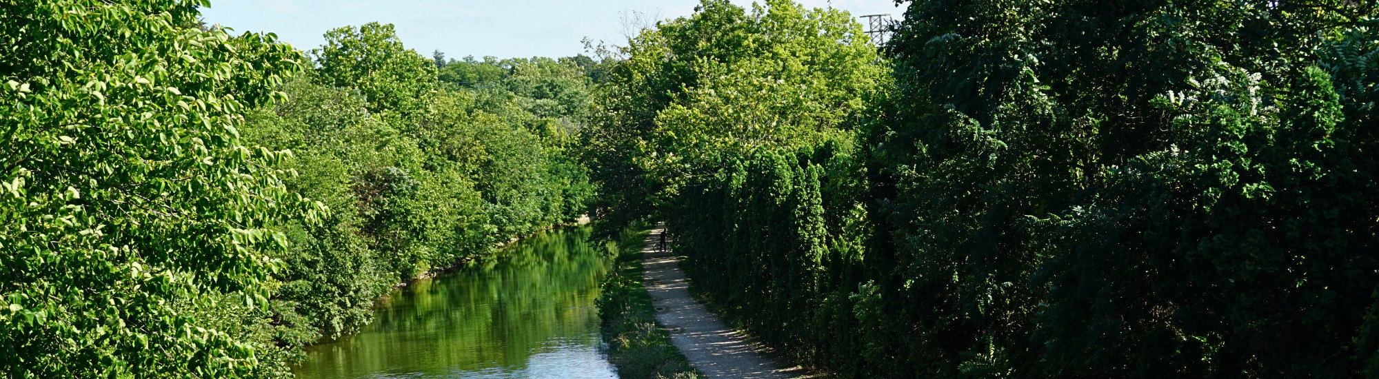
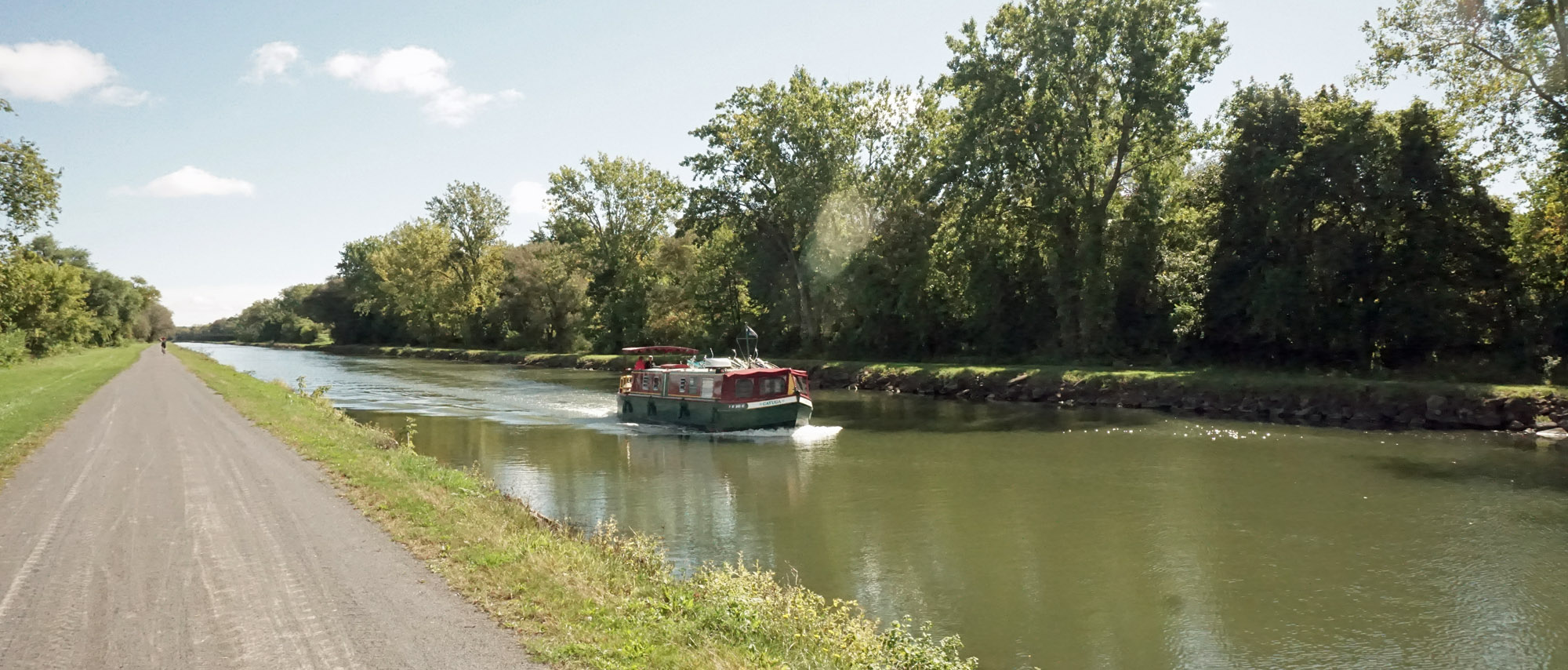
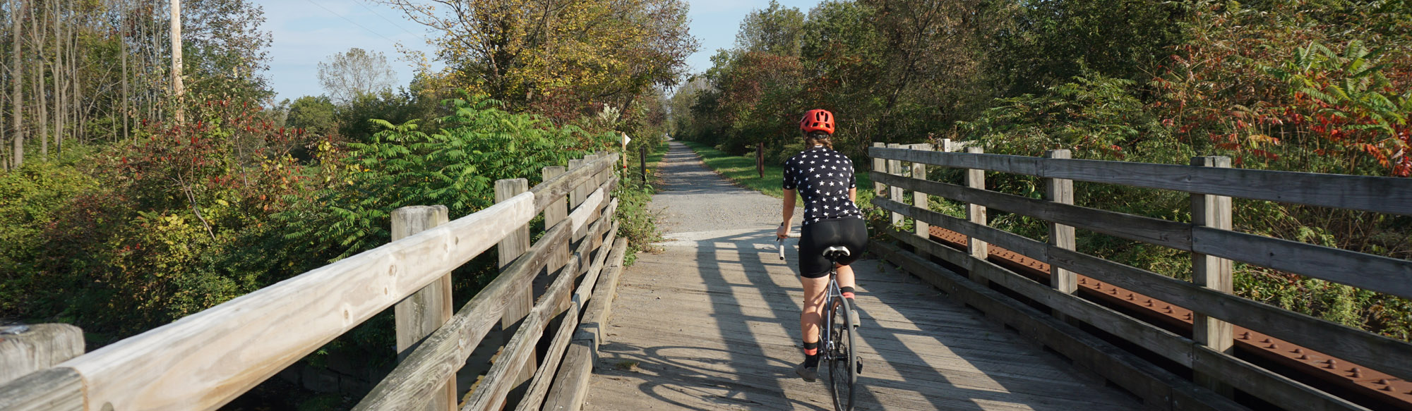
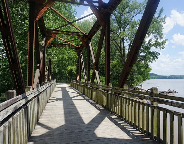
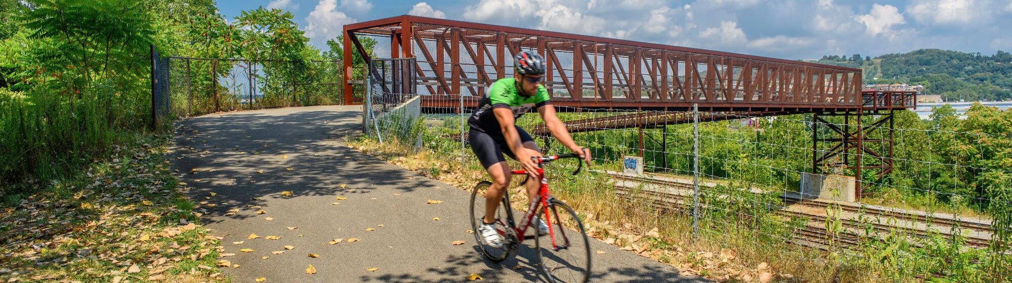
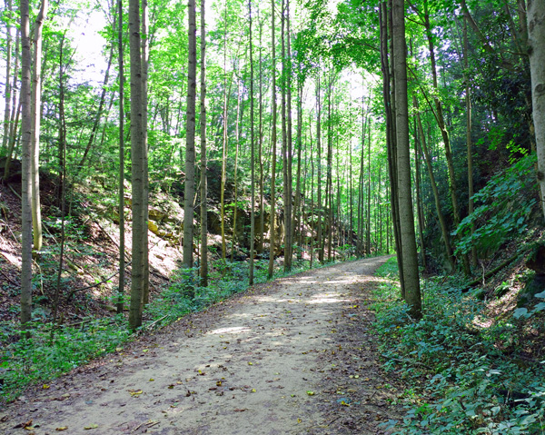
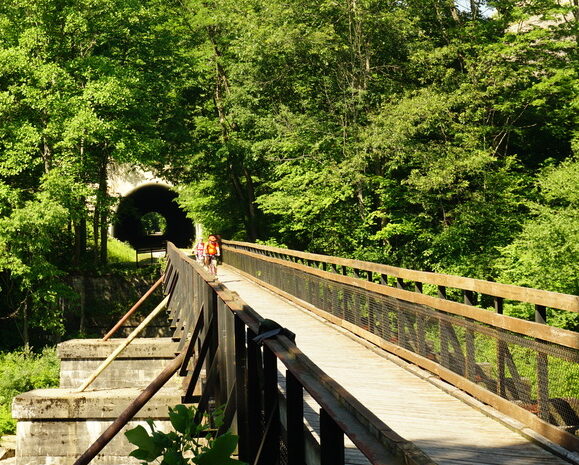
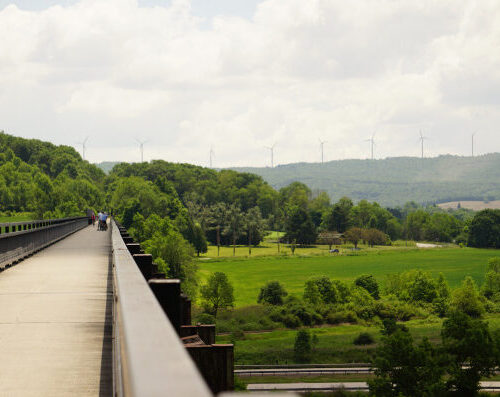
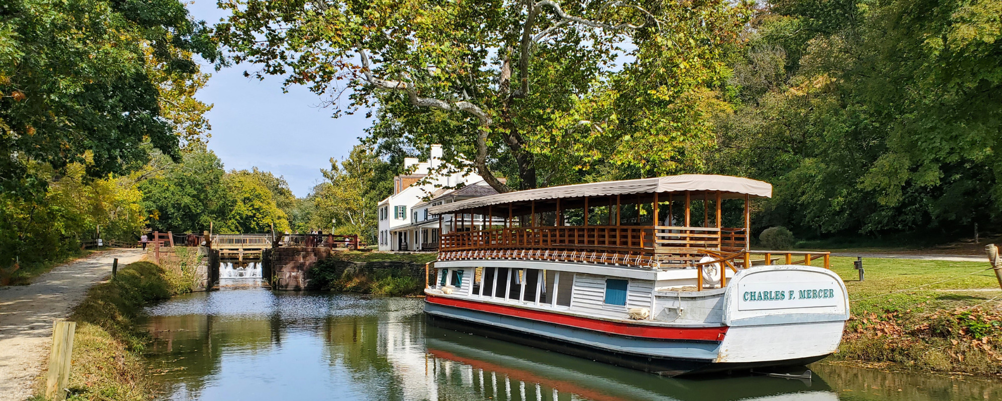
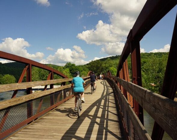
Riding the C&O Canal Towpath
The C&O is best ridden between April and October.
Spring on the C&O is a wonderful way to restart your cycling season. April and the start of May can have periods of rain followed by periods of gorgeous spring sunshine.
Summer is ideal for riders who love the long days, sunny and dry weather. Long sunny days allow for full days of biking, side trips, and socializing.
September and October is peak season on the trail – groups should book trips at least 9 months in advance when possible. Fall foliage occurs generally in early to mid-October, although exact dates do vary each year.
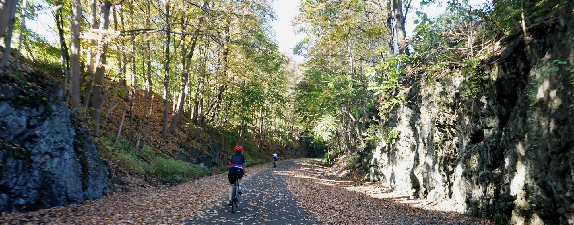
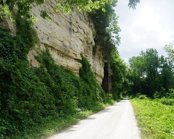
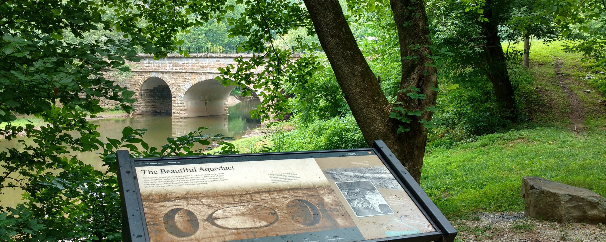
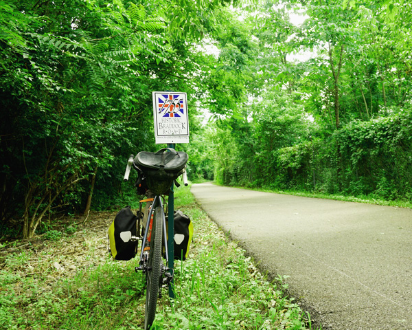
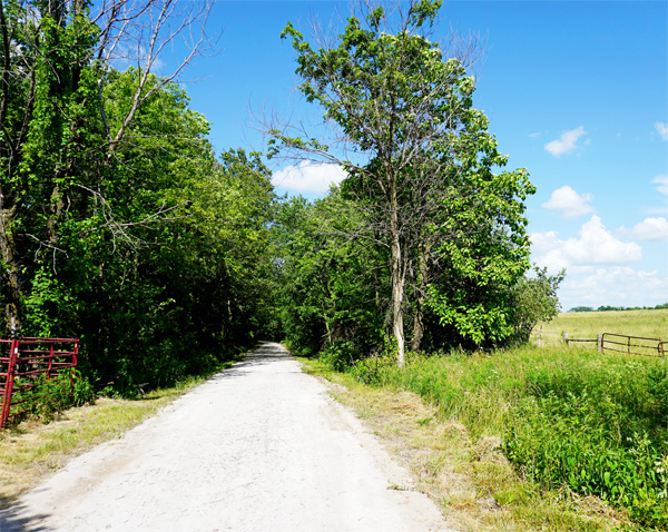
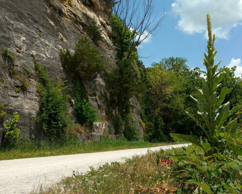
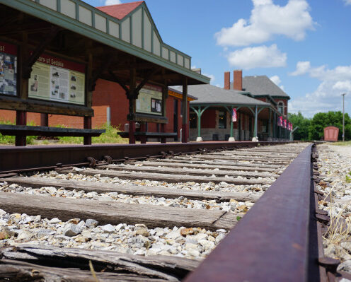
The C&O Canal Towpath is maintained by the National Park Service as more of a dirt trail/road, although improvements to the trail surface have been underway for the past several years. That said, riders will find the western end of the C&O from Cumberland to Little Orleans (where the Western Maryland Rail Trail can be accessed) to be bumpy and sometimes muddy and rutted.
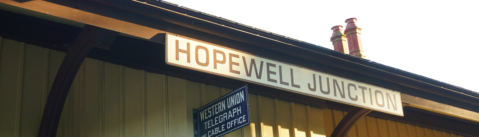
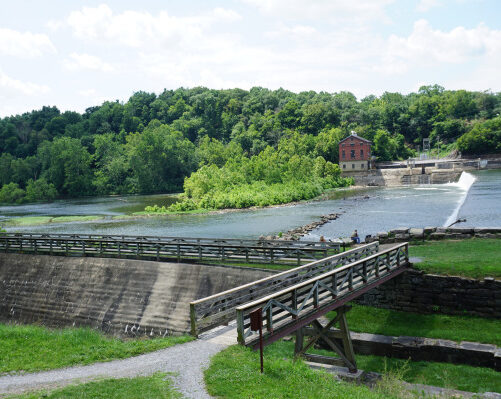
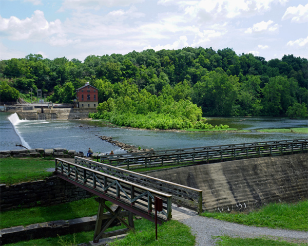
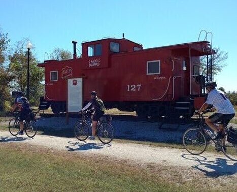
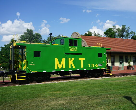
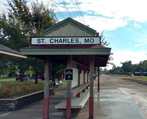
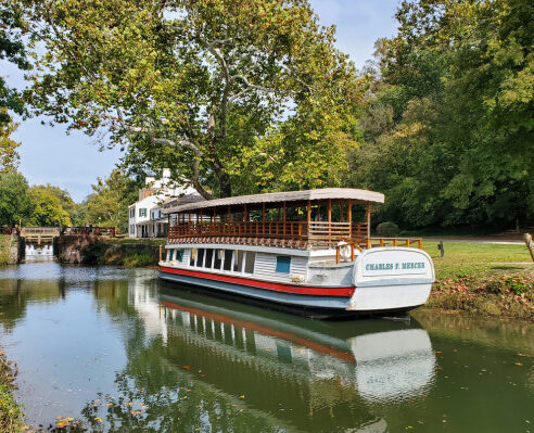
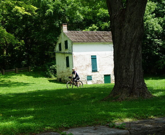
The C&O Towpath is a linear park and as such the NPS maintains hiker-biker campgrounds with port-a-johns and water pumps (these are sometimes capped) every 8-10 miles. There are also several larger towns accessed from the C&O which offer a variety of restaurants and lodgings.
Cell coverage is fairly strong on the entire trail, particularly Verizon. Wifi can be limited, although most B&Bs and hotels will offer the service. *There is no wifi and limited cell service in Paw Paw.
Bike and ebike rental is available in Cumberland. Rental bikes can be shuttled back with you to the shop or dropped off in DC for an added fee.
Have a question about this trip?
Our professional team members are happy to answer any questions you may have regarding our tours. Please reach out to them for trail tips and to plan your next adventure.
Related Trips


C&O 5 Day Tour
The C&O Canal Towpath is a must-ride trail for all bike travelers. Book your 5 day vacation and have plenty of time for relaxing and riding!
View Trip
GAPCO 7 Day Tour
Bike the Great Allegheny Passage and C&O Canal Towpath in in one full week. Enjoy this 7 day adventure and see the best of both trails.
View Trip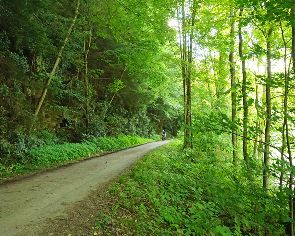

GAPCO 8 Day Tour
The Great Allegheny Passage and the C&O Canal Towpath is a must-ride trail for all bike travelers. These two bike trails create two distinctly different experiences and one epic journey.
View Trip
Looking for something different?
We are proud to offer a wide variety of curated tour itineraries on many of the nation’s best trails.